Discover the Paris Metro: lines, locations, maps...
The Paris metro is the public transport network in the French capital. It’s also one of the oldest in the world. Find out everything you've always wanted to know about this unique and busy place and get all the information you need to move around.

A short history of the Paris Metro
Its construction began in October 1898, not without hardship and disturbance for Parisians. At that time, engineers has to dig deep trenches throughout the city and pour concrete for the walls, causing diversions, closed roads and traffic jams.This colossal project was entrusted to engineer Fulgence Bienvenüe who, 23 months after the start of the works, inaugurated Paris metro line 1. It arrived at the perfect time in 1900 to celebrate Paris’s entry into the 20th century. From the beginning, the metro met with great success among residents. That's why it was decided to expand the network with construction on 5 new lines. Line 17, the most recent, was inaugurated in 1998.
Nowadays, the Paris metro is the most extensive in France with a total of 14 lines serving the city and its region from north to south and from east to west. 5 regional express train lines and 4 lines of tramway complement the Metro network.
The Ile-de-France transport network is divided into 5 zones, covering a territory far exceeding the city itself. The Parisian metro itself covers up to 3 zones. This distinction is important when buying your metro ticket since the pricing changes according to the area.
14 lines for the Paris metro
Ligne 1 : the oldest line of the network, it now serves the capital from east to west. From La Défense to the Château de Vincennes, passing by the Champs Elysées, Place de la Concorde and the Louvre. This line stops at the important monuments and squares in Paris. Today, over 700,000 commuters use this line every day.
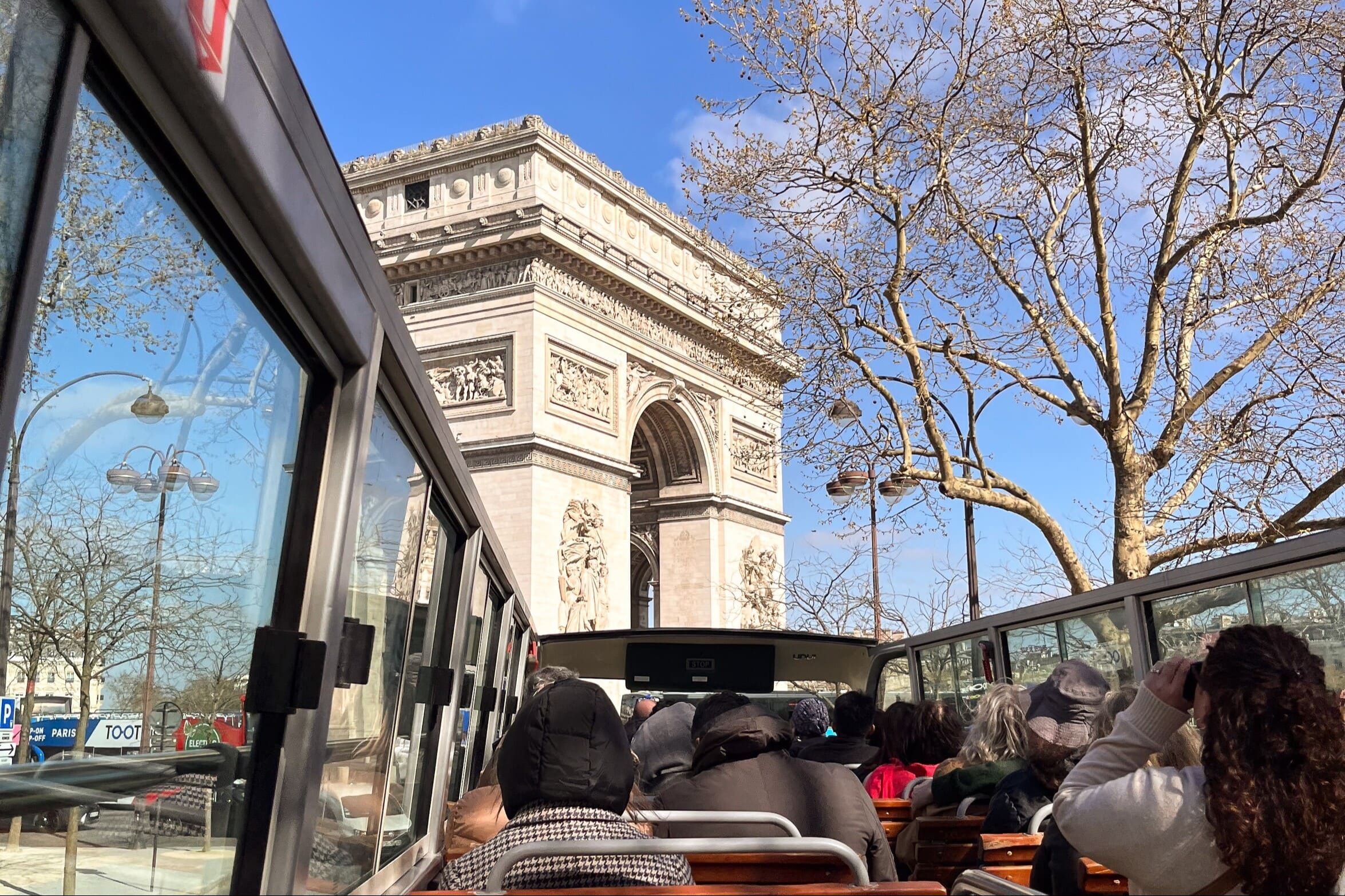
Ligne 2 : this line will lead you across the network’s zone 1 from Porte Dauphine to the west of the capital to Nation in the east throughout the right bank of the Seine. This is the line to take to get to Sacré Coeur Basilica. The line 2 will also take you to the Arc de Triomphe: and Père Lachaise cemetery where many French celebrities are buried.
Ligne 3 : serves the capital’s right bank from Pont de Levallois in zone 2 to Gallieni just after Porte de Bagnolet in the east of Paris.
Ligne 4 : this was the first line to cross Paris from north to south. During construction, the engineers had to be creative to go under the Seine river. Starting at Porte de Clignancourt, it runs to Mairie de Montrouge south of the city.
Ligne 5 : starting at Bobigny in zone 3, this line goes to Porte d’Italie via the east of the city, and stops at the Gare du Nord and the Gare d’Austerlitz.
Ligne 6 : this line service the city’s left bank. Leaving from the Arc de Triomphe at Charles de Gaulle Etoile, it will take you to Nation. Taking the line 6 will let you stop off at the Eiffel Tower as well as Denfert Rochereau for the Catacombs.
Ligne 7 : from La Corneuve in zone 3, the line 7 continues to Mairie d’Ivry via the center of the capital. In particular, it stops at the Louvre as well as Paris’s largest station: Châtelet-les Halles.
Ligne 8 : this is the network’s second longest line. Starting at Balard in zone 1, it heads up to the right bank of the Seine. It stops at the Grands Boulevards and then heads back south to Créteil in zone 3.
Ligne 9 : starting at Pont de Sèvres in zone 2, this line crosses the Seine’s right bank. You can take this line to go the Eiffel Tower, Trocadero and the Pont de l’Alma. It also stops at the Grands Boulevards and the major department stores.
Ligne 10 : starting in zone 2 at the Pont de Saint-Cloud station, the line crosses the left bank of the city to reach the Gare d'Austerlitz. It serves the 6th arrondissement and the chic Saint Germain des Prés district which is well worth a visit.
Ligne 11 : shorter than most other lines, line 11 starts at Châtelet in the 1st arrondissement and goes to Mairie des Lilas, passing by Boulevard de la République and the Belleville district.
Ligne 12 : from the south of the Paris metropolitan area, starting from Mairie d'Issy, line 12 crosses the left bank to arrive at Aubervilliers. Extended over time, it now allows you to go to Montmartre by stopping at Abbesses. This line also takes you to the sublime Musée d'Orsay.
Ligne 13 : this is the longest and one of the most notorious line of the Paris metro network and also the busiest. Starting at Châtillon Montrouge to the south of Paris, it goes as far as Saint Denis and Asnières Genevilliers. You can take this line to go to the Champs Elysees or the Stade de France.
Ligne 14 : the Paris metro’s newest line, it is also the one that serves the fewest stations, giving you a fast ride. From Saint Lazare on the right bank, it runs along the Seine to Olympiades. This line will take you to the Gare de Lyon or Bercy quickly.
Paris has a very dense network of metro lines.
Getting around the Paris metro
Want to get around fast and easily? We’re here to help with a variety of really useful resources. For example, to help travelers find their way around, the RATP offers a map of the Paris metro using a so-called schematic diagram that we encourage you to look at.
With PARISCityVISION, you will find a great deal of useful information: ticket prices, opening hours of the various lines, etc. You can also prepare your trip easily and make sure that a train will be there when you want to leave or come back.

Interesting or abandoned stations
While this great subterranean network is primarily intended to move passengers, tourists and Parisians on a daily basis, it is also reflects certain artistic and aesthetic approaches. From the very beginning, the Art Nouveau entrances designed by Hector Guimard brought a touch of originality to this new means of transport.
Let’s visit the most beautiful Paris metro stations. For example, the decor of Arts et Métiers station on lines 3 and 11 channels the special atmosphere of Jules Verne's novels. The ceiling at the Cluny - La Sorbonne station displays the colorful mosaics of Jean Bazaine. Cité station is illuminated by streetlights with a retro look that is particularly beautiful. Among the 302 stations of the network, several have a remarkable character and are almost sometimes tourist spots in and of themselves.
But other stations are closed: either they have never opened, or they were closed for the most part during the Second World War and never reopened.
The RER in addition to the metro
The regional trains network is a complement to the metro network and extends it to the suburbs. Discover the various RER lines that will take you to tourist destinations such as Disneyland Paris or vital tourist infrastructure such as the airports:
- RER A
- RER B
- RER C
- RER D
- RER E
You can also like